Raiders of the Lost Greenway
Saturday, May 10, 2003
The Lost Greenway - the two miles of
abandoned waterfront path
on the Harlem River between Dyckman
Street and the Polo Grounds housing project
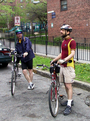
Our fearless leaders - at AYH, Robert and Ed explain the 5bbc trademarks
- point-drop-sweep
and bike check -
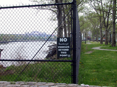
The East River.
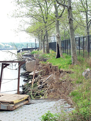
East River, looking south from under the Triboro Bridge (125th St).
Not long after the
waterfront esplanade was renovated, this portion of it collapsed into the river.
Thankfully, the area is wide enough that there is still access around the collapsed portion of the
path.
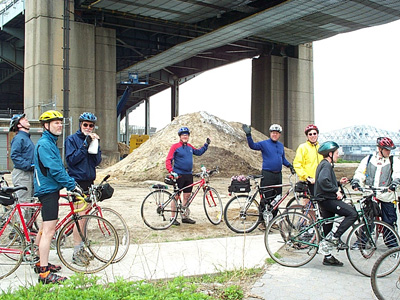
The East River esplanade ends under the Triboro Bridge. Paved pathway turns into dirt and mud.
Just north of here is a giant salt pile, perhaps the last fixture of the industrial strip that once
dominated the Harlem waterfront.
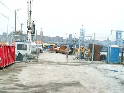
Formerly a concrete plant famous for its polka-dotted trucks and tanks, now a construction zone.
This area is scheduled for a Greenway treatment one day, but it may be ten years before it is open to
the public.
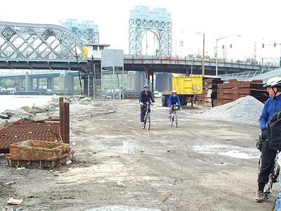
Robert and Bonnie riding last but not least on their hybrid and road bikes,
with the Triboro and Willis Avenue Bridges in the background.
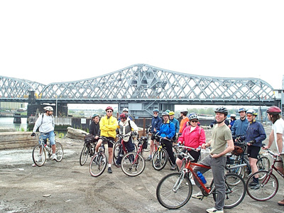
The gang of intrepid two-wheeled Greenway explorers.
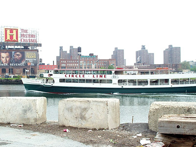
Circle Line sighting #1.
We wind up seeing this tour boat a total of three times.
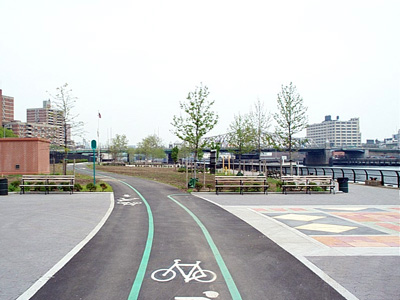
The Ghostway - all fenced in with no place to go, this brand-new Greenway segment
runs for four blocks
along the Harlem River. You can enter it from Madison Ave and East 135th Street
(go East on
the 135th St. sidewalk path on the north side of the highway ramp to the FDR drive).
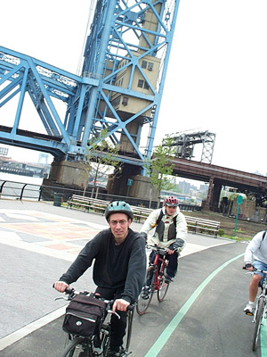
Hey, let's try taking pictures by pointing the camera behind you while you're riding a bike.
That's the Park Avenue (Metro-North) bridge in the background.
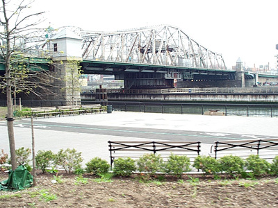
This place gives you a "Mary Celeste" feeling - where did all the people go?
New benches, new
landscaping, a new plaza, a new Greenway path - all waiting for customers.
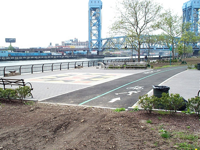
The End of the Road or the Beginning - the Greenway abruptly stops at the north end of the park.
Fortunately, you don't have to backtrack - another highway ramp will take you back to the streets,
or if you're willing to clamber over a few obstacles...

Obstacle #1.
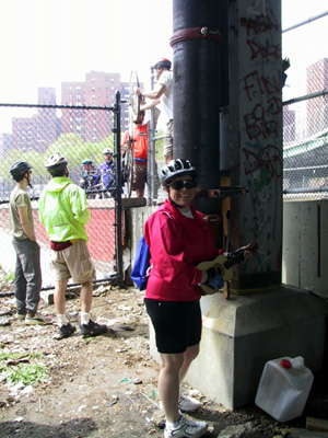
Alison with her ukulele.
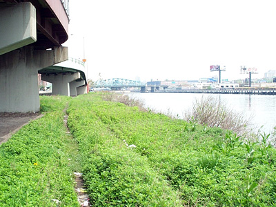
Just north of the fence is some city land lying fallow
- perhaps one day a Greenway path will squeeze between these highway ramps.
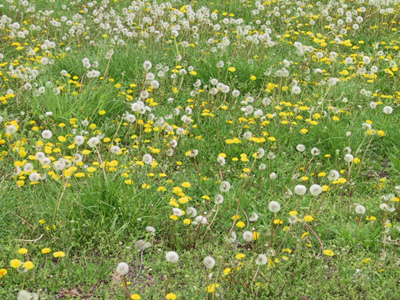
An allergy nightmare.
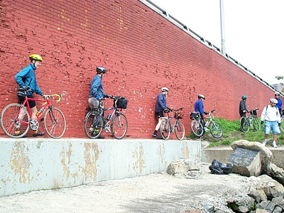
Obstacle #2.
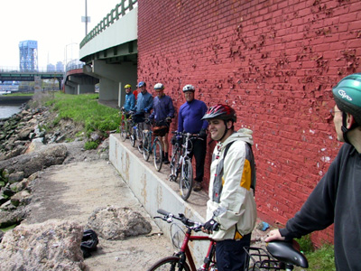
Follow the leader.
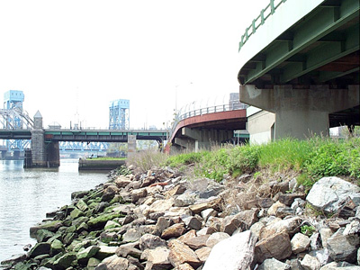
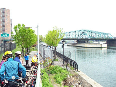
Another waterfront park rehab job turned into a nightmare - shortly after these few blocks of waterfront were restored into full-fledged parkland, some of it started falling into the river, necessitating the fence in the center of the photo slicing the park off from the shore.
Like its bigger brother to the south, this Greenway leads nowhere - its northern end is fenced off. The Esplanade Gardens housing development (background left in the photo) uses the waterfront north of here for car parking.
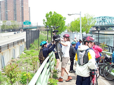
Obstacle #3.
As you approach the 145th Street Bridge (in background, on right), another recently
renovated waterfront park appears. Alas, one has to clamber over another railing if you're traveling
from the south. The "normal" way in is via the pedestrian bridge across from the armory at
the northern tip of 5th Avenue
(near East 142nd Street).
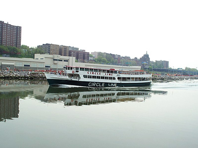
Circle Line sighting #2.
The Bronx waterfront and a waterborne passer-by,
seen from the southern
end of the Harlem River Drive.
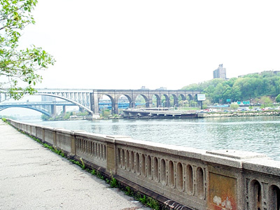
A suprisingly well-preserved concrete balustrade (probably from the 1930s) runs along the
waterfront path.
The High Bridge is in the background, followed by the I-95 bridge and then the
Washington Bridge.
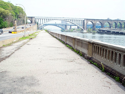
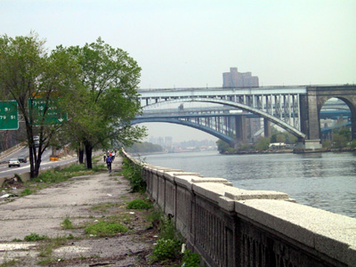
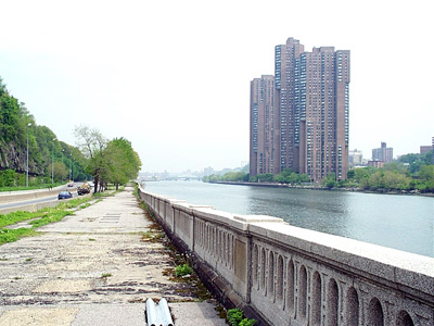
For an area abandoned by the city, the pavement is in remarkably good shape.
This is one of the more deteroriated sections.
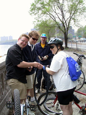
Our first puncture encounter (flat) - luckily for these blokes we happened along.
With rented
bicycles from Toga bike shop, and no spare tube or pump,
they kept riding along and following the
2003 bike maps', both solid and dashed greenways. (Note; the dashed ones are the "lost greenways").
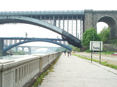
Note the construction fence in the background - the city planners throughtfully left enough room
between the worksite fence and the highway, allowing visitors to get to the waterfront Greenway
during the construction.
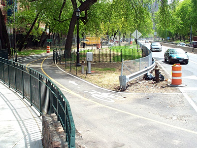
Dyckman Street and 10th Avenue.
Northern entrance to the Harlem River Greenway - otherwise known as the "main"
lost greenway.
Greenway under construction - looking back towards the Greenway as it runs alongside
the Harlem River Drive on its way to the waterfront. This area, once fenced off to keep children from
the adjacent primary school from wandering onto it, will soon be the proud entrance to a first class
waterfront path.
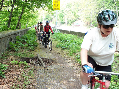
Ten years ago, I was shocked to discover the two miles of abandoned waterfront path along the
Harlem River that I nicknamed "the Lost Greenway" in the previous photos. I was even more shocked a
year later to discover that there was ANOTHER mile of waterfront path similarly neglected along the
Hudson River. This path, which runs alongside the northbound Henry Hudson Parkway between the George
Washington Bridge and Dyckman Street, can be reached from the Hudson River Greenway on the south or
from a curved stairway just below the intersection of Riverside Drive and Staff Street in the north.
Although the pavement here wasn't all that great, back in 1994 the city jackhammered large swaths of
it to install new streetlamps for the adjacent highway. None of the holes were repaved - many were
left open and were hazards for years. Maintenance along this path is spotty - the weeds get cut back
every now and then, but pothole repair, even for the 4 foot-wide crater in this photo, is unheard of.
This spot is just south of the Fort Tryon Park entrance (the park sign is the blurred stuff on the
right of the photo).
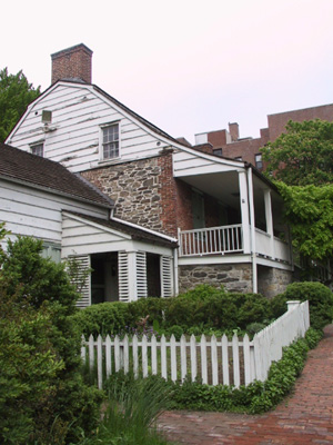
Our lunch stop - the Dyckman House - the last colonial farmhouse in NYC.
Located at 4881 upper
Broadway in Inwood and built around 1784.
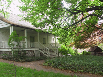
The back of the Dyckman House - and the gardens.
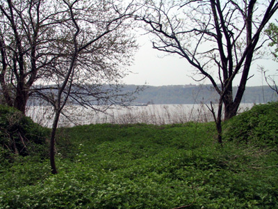
Circle Line sighting #3.
On the Hudson River, heading home.
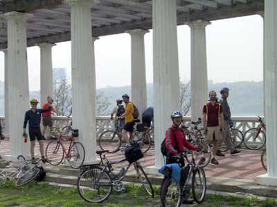
This viewing platform with impressive views of the Hudson River has seen better days.
The Henry
Hudson Parkway here was once a normal street called Riverside Drive,
and this spot was no doubt
the crown jewel of a project called the "Riverside Drive Improvement".
Dubbed "Inspiration
Point" in its heyday, it was often used by young people looking for a quiet place to "make
out".
Such activities are unlikely now - while the view is still inspirational, the noise from the adjacent highway drives out most thoughts of romance.
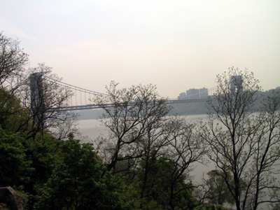
The view looking south from Inspiration Point along the Hudson River and the GWB Bridge.
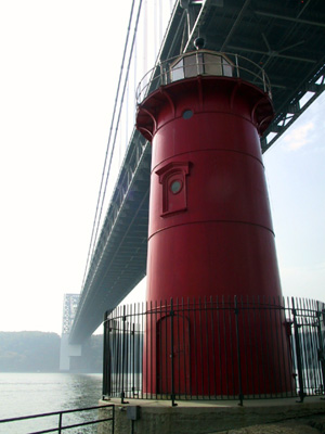
The Little Red Lighthouse.
Manhattan's last surviving lighthouse, underneath the GWB
and
immortalized in the children's "The Little Red Lighthouse and the Great Gray Bridge".
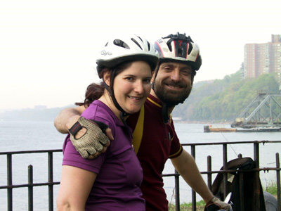
Bonnie and Ed at the very north end the greenway and thus the end of Manhattan.
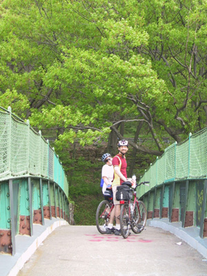
Alison and Ed, cross over the Amtrak train tracks in Inwood Hill park.
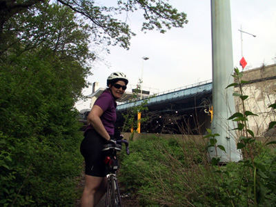
Return to Riverdale, via the Henry Hudson Bridge (and ez-pass).